
Walk in about 20 minutes from the Anderson Road trailhead at Mer Bleue and beside the trail are a curious group of long scattered esker-like mounds.
If all the mounds were stretched out straight and laid end-to-end, they would be about 200 meters long. The largest has a open loop shape. The area containing the mounds is about 120 meters long and 40 meters deep. They do not appear anywhere else around the Mer Bleue conservation area that I have noticed. The mounds are about five feet high and six feet wide at the bottom. They sit flat on their terrain with no ditch beside them. The trees on the ground around them as well as the trees growing out of them all appear to be the same age. The mounds are spread about haphazardly and do not appear to be a enclosure wall built by an early settler, nor an archaeological artifact, nor a trail-building debris dump. They are mainly on the north side of the trail and stop distinctly at the trail, although in a couple of places they poke over to the south side of the trail.
This observer is puzzled by them, and thinks maybe, during the Champlain Sea
and early Ottawa River period, a group of icebergs jammed up against the island
and formed these mounds. Maybe.
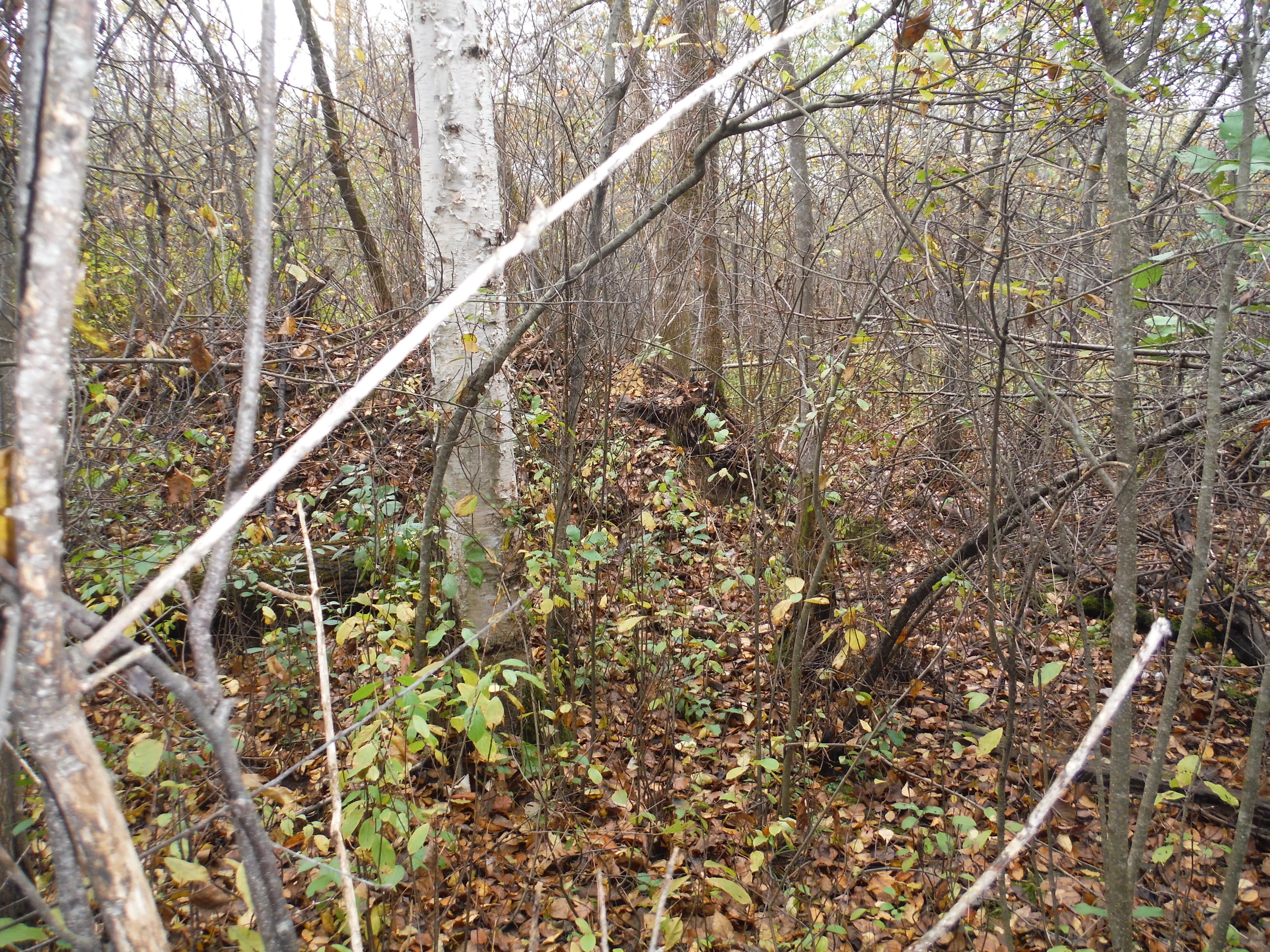
The mound rises from the ground just in front of the camera.

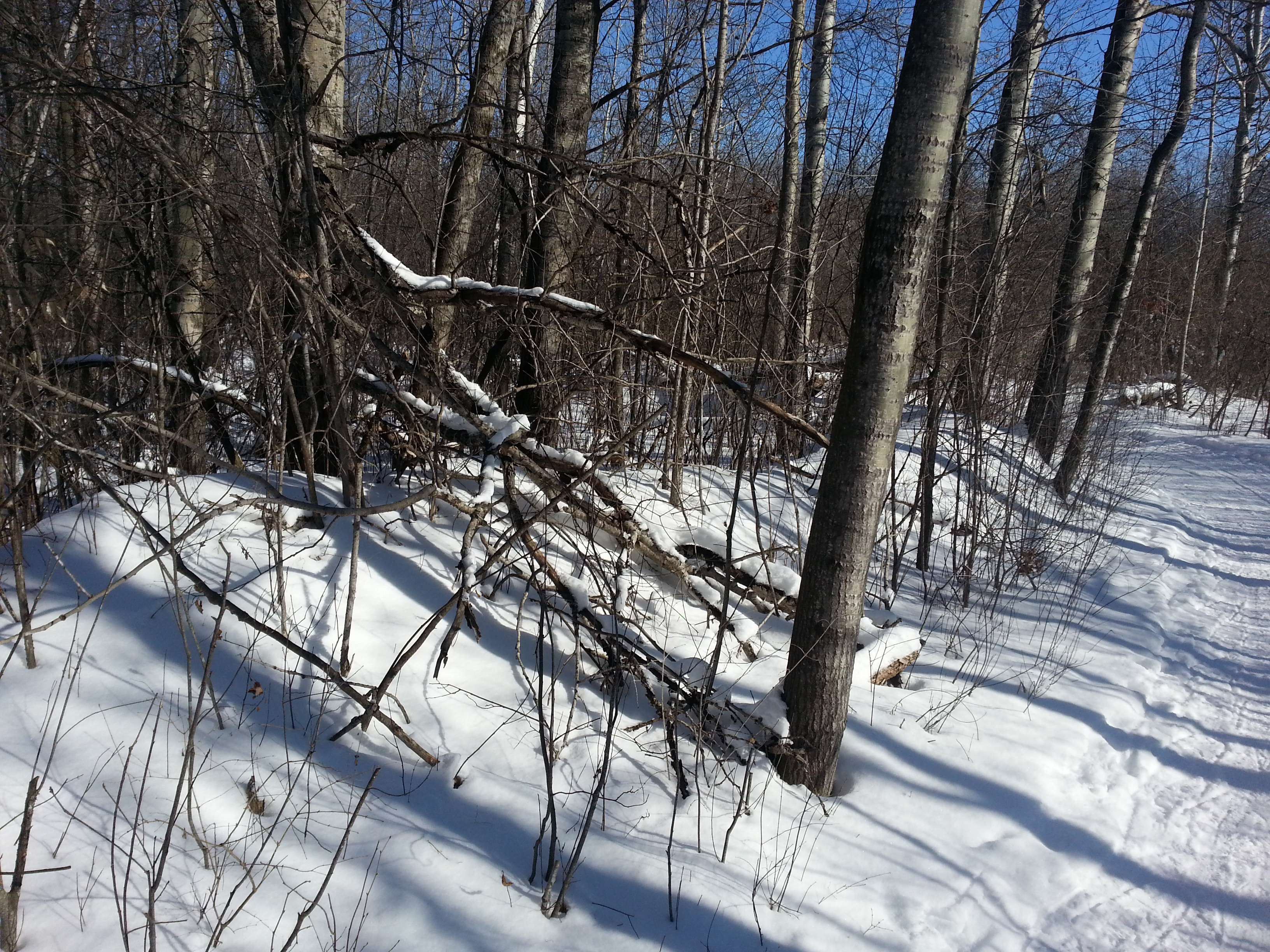
Here is a winter view of them as they run beside the trail.
A skeptic might dismiss them as the remains of an 18th century pig enclosure
put up by an early settler-farmer.
Here are a few reasons I reject that hypotheses.
Maybe they were pushed there by a plow operator during the construction of
the trail. But no.
The ground around the trail is uniformly flat.
There is no indication elsewhere on the trail of plows dumping debris.
Again, they mounds, which are grouped around this one area, wander off
into the woods far from the trail and there is no apparent source for the
dirt pushed up onto the mound.
See the picture below where the mound runs 20 meters in from the trail.
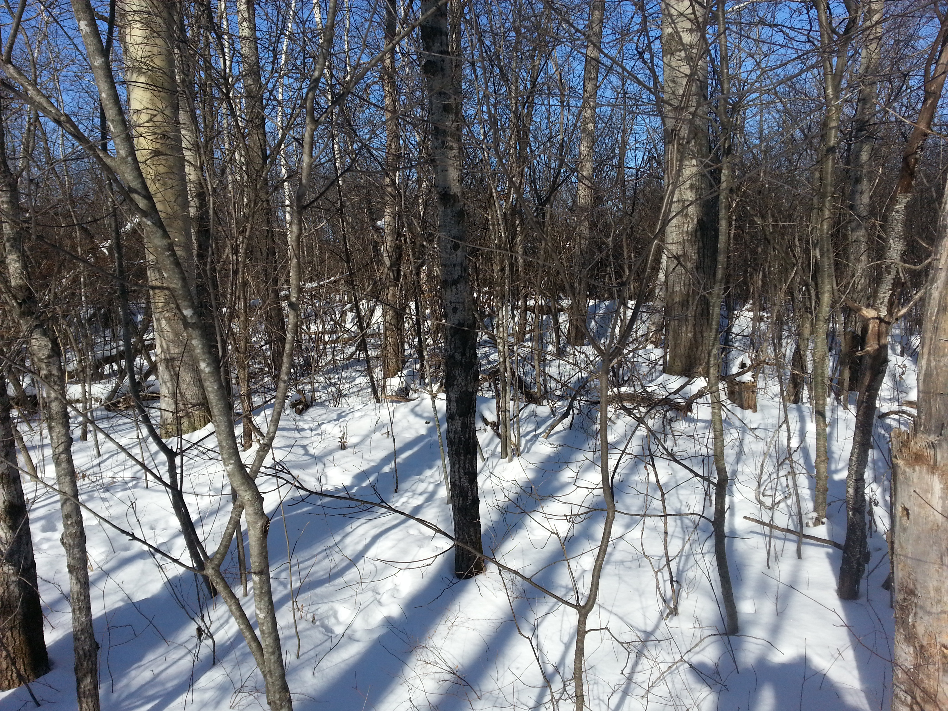
The mounds are only about four, or five or six feet tall.

A map from the NCC showing the wandering channels of the
early Ottawa River and the Mer Bleue ridge islands.
See
NCC -- The Mer Bleue Bog.

Here is an aerial view of the site from Microsoft's Bing Maps
that allows your mind to wander back in time and
imagine the early Ottawa River and the Mer Bleue ridge islands
being slowly deposited there.

A retreating glacier and its effects on the surrounding landscape.
From
Glacial Landforms at Wikipedia.
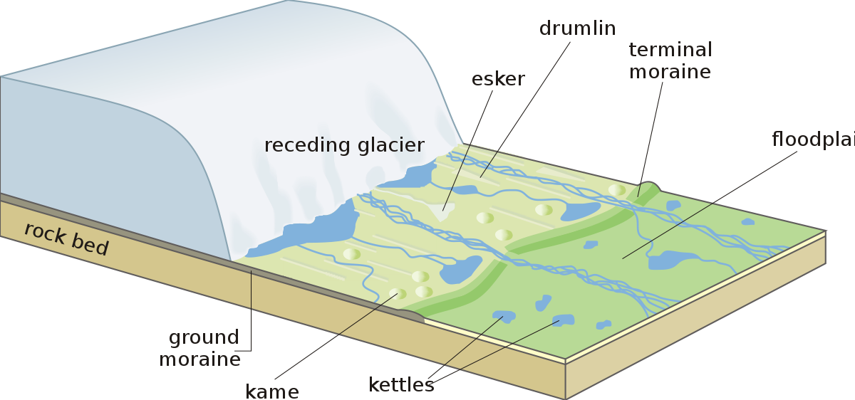
The old islands where these mounds are found were formed at the end of Champlain Sea period when channels of the nascent Ottawa River flooded and twisted throughout this area. But this was after the glaciers had retreated. As much as these look like some kind of esker or moraine from a glacial retreat, the rest of the landscape about the trail is not particularly glacial.
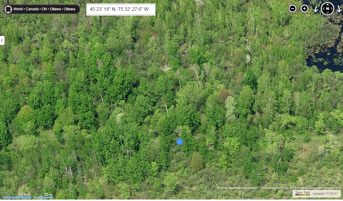
Here is an aerial "Bird's eye" view of the site from Microsoft's Bing Maps.
According to my smartphone, the feature is found at
45o 23' 18" N, 75o 32' 27.6" W.
Here is an aerial view of the site from Google Maps.

Here is another image showing the early Ottawa River and the
position of the Mer Bleue ridges.
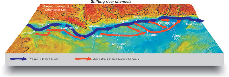
This image is from
Geoscape - Ottawa-Gatineau.
I would be very interested in the ideas of others who have inspected the mounds.
I am more puzzled by them than anything.
It would be neat if somebody could do a small test pit into them and compare
that to the soil in the woods around there.
Write me, Michael Davidson, at sleepless3@gmail.com with your observations.